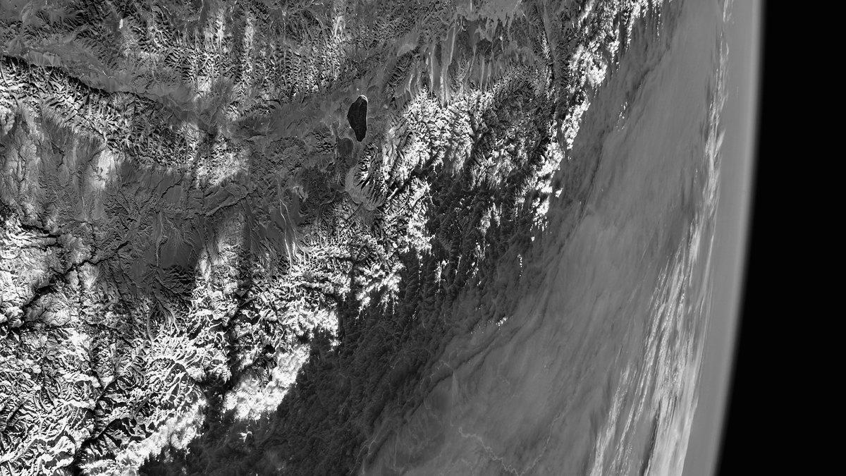
The Himalayas and Earth’s daylight horizon, photographed from the International Space Station.

About

About Ortelan

Ortelan is an applied AI lab where research, product development and investment inform one another.

In practice

How we operate

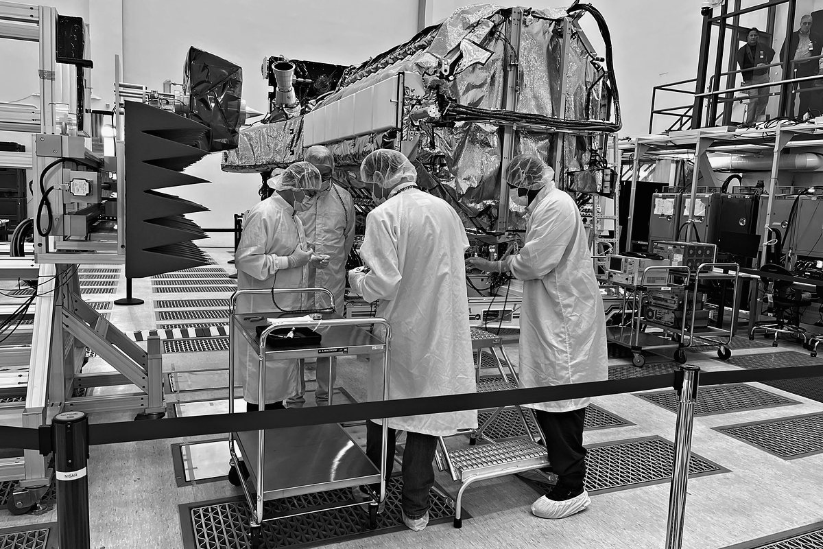
  • Engineers in clean-room gowns and hairnets working together on a radar payload, seen mostly from behind.

    Methods and findings move between projects, so each new system benefits from work already done across the lab.

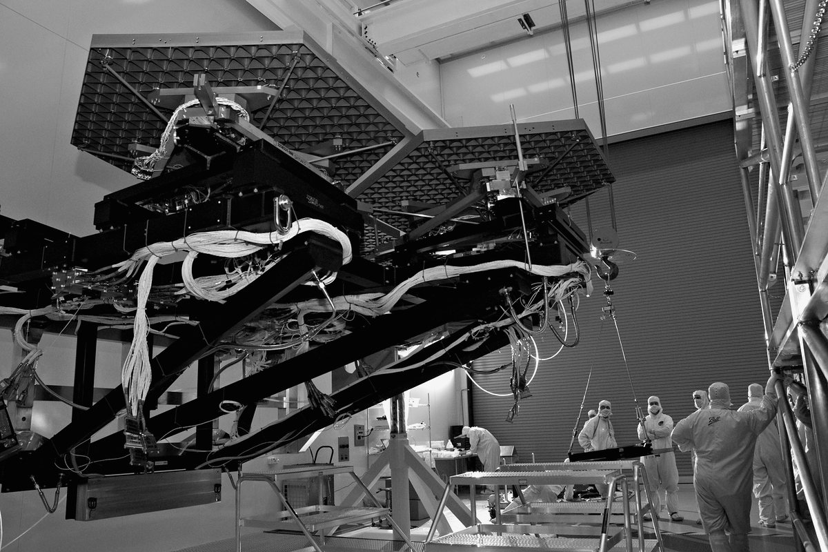
  • Technicians in clean-room suits fitting hexagonal mirror segments to a large test stand, small figures beneath the hardware.

    We remain responsible for the systems we operate, including maintenance and changes as requirements develop.

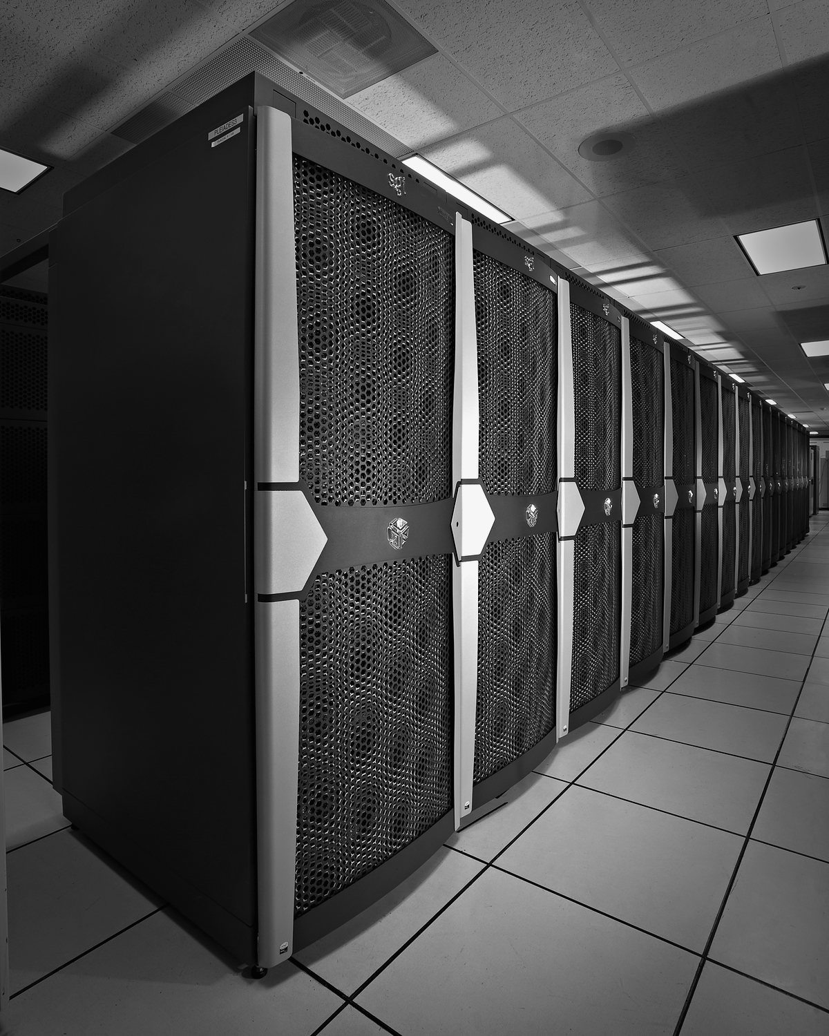
  • A long aisle of supercomputer racks receding across a raised-tile floor.

    Problems encountered in use give our research specific questions to address.

The name comes from a 1570 atlas.

Ortelan takes its name from Abraham Ortelius, the Antwerp cartographer whose Theatrum Orbis Terrarum of 1570 is usually called the first modern atlas.

He compiled the known world from the maps of other cartographers and redrew them to one consistent format. At the front of the book he named every mapmaker he used.

The name reflects our interest in making existing knowledge useful. We build on published research and test its application in software.
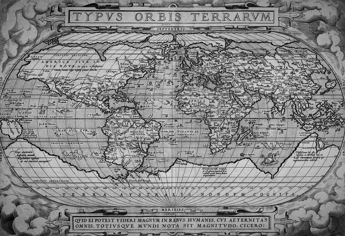
Abraham Ortelius’s engraved world map: the known world drawn on an oval projection inside a frame of clouds, titled Typvs Orbis Terrarvm, with a line from Cicero in a cartouche below.
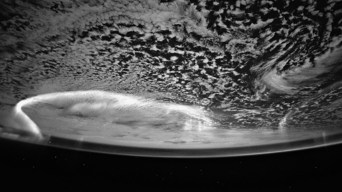
An aurora arcing above moonlit clouds over the Indian Ocean, photographed from the International Space Station.

Contact Ortelan.

Tell us about a project, an investment or a role on the team.